
Water Sector
✓ Integrated water resource assessment (ground and surface).
✓ Site-specific recommendations on water resource management plans.
Welcome to Elixirgeotech, where technical precision meets environmental stewardship.
We are a multidisciplinary consultancy specializing in the critical intersection of hydrology, mining, and environmental science.
ElixirGeotech bridges the gap between complex hydrogeology and sustainable infrastructure. By integrating advanced GIS mapping, groundwater science, field investigation and engineering precision, we deliver practical solutions for industries, institutions, mining sites and urban developments.
Our work focuses on understanding site-specific geology, terrain, aquifer behaviour, rainfall conditions and environmental risks so every recommendation is technically sound, practical and future-ready.
✓ Integrated water resource assessment (ground and surface).
✓ Site-specific recommendations on water resource management plans.
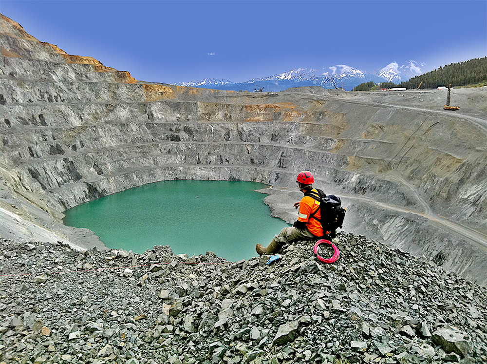
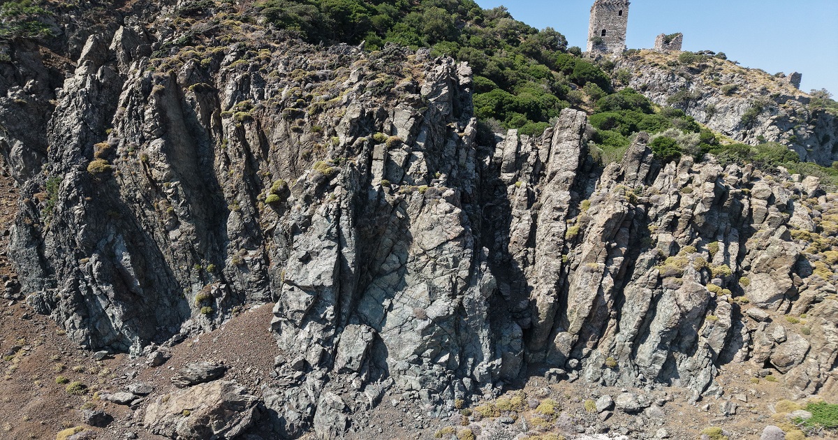
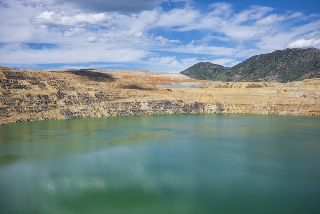
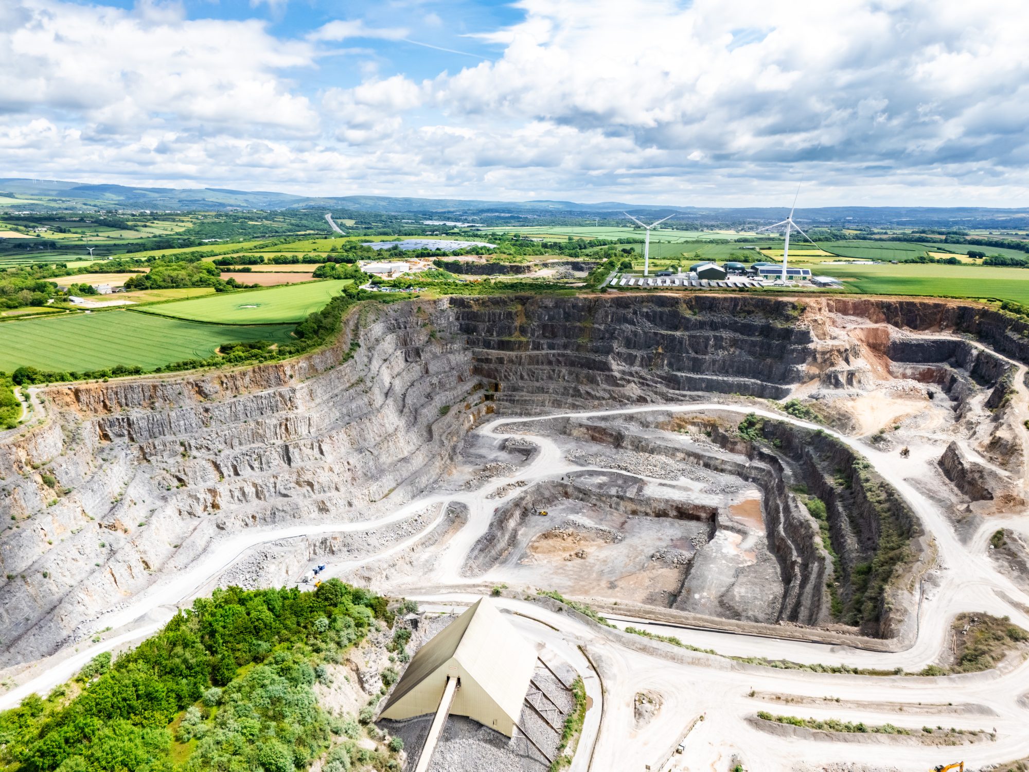
✓ Resource estimation.
✓ Overburden analysis.
✓ Mine planning.
✓ Environmental clearance for mining.
✓ Environmental impact assessment for projects.
✓ Natural hazard assessment.
✓ Flood risk analysis.
Hydrogeological assessment involves studying groundwater occurrence, movement, quality, and recharge conditions in an area. This is carried out through field investigations, geological studies, water level monitoring, and hydrogeological data analysis. Water auditing evaluates water usage, losses, and efficiency within a facility or project. These studies are important for sustainable groundwater management, efficient water utilization, and long-term water security. This assessment and reporting help in planning water conservation and recharge plans. This assessment is essential in getting NOC for groundwater extraction in commercial buildings and industries.
Groundwater management focuses on assessing and controlling groundwater conditions in mining and industrial areas. The process includes groundwater monitoring, dewatering studies, contamination assessment, and recharge planning. Proper groundwater management helps industries comply with environmental regulations, prevent water-related hazards, and ensure sustainable resource utilization.
Groundwater seepage mapping identifies locations where water infiltrates through soil, foundations, slopes, or structures. This is done through site inspections, hydrogeological investigations, and geophysical surveys. Understanding seepage pathways is essential for preventing structural damage, controlling water loss, and improving site stability.
Yield testing determines the quantity of water a bore well or open well can sustainably produce. The test is conducted by pumping water continuously while monitoring discharge rate and water level changes. Pumping tests help evaluate aquifer characteristics, well performance, and long-term groundwater availability for domestic, agricultural, or industrial use.
This service uses electrical geophysical methods, such as resistivity surveys, to identify suitable groundwater-bearing zones. Electrical current is passed through the ground to measure subsurface resistance variations. The method helps locate promising drilling points, reduce drilling failures, and improve groundwater exploration success rates.
Rainwater harvesting involves collecting and storing rainwater from rooftops or surface runoff for reuse or groundwater recharge. The system is designed through site analysis, runoff estimation, and recharge structure planning. It helps conserve water, reduce dependence on groundwater, and improve groundwater recharge.
Water level monitoring tracks seasonal and long-term fluctuations in groundwater levels. Measurements are taken periodically from wells and observation points using monitoring instruments. This information is important for understanding groundwater trends, managing extraction, and planning sustainable water use.
Environmental Impact Assessment evaluates the possible environmental effects of a proposed project before implementation. The process includes field studies, environmental monitoring, impact analysis, and mitigation planning. EIA is essential for regulatory compliance, environmental protection, and sustainable project development.
This service identifies the thickness of overburden materials and the depth and nature of underlying hard rock formations. Investigations are carried out using geophysical surveys, drilling data, and geological mapping. The study is important for mining, construction, groundwater exploration, and infrastructure planning.
Environmental clearance services support mining and quarry projects in obtaining statutory approvals from regulatory authorities. This involves environmental studies, documentation, compliance assessments, and preparation of reports as per government guidelines. Proper clearance ensures legal compliance and environmentally responsible project execution.
GIS and geospatial services involve collecting, analyzing, and visualizing spatial data using satellite imagery, GPS, and mapping software. These services include thematic mapping, land use analysis, watershed studies, and spatial database development. GIS helps improve planning, decision-making, and resource management across various sectors.
Bore well camera inspection is a visual assessment technique used to examine the internal condition of bore wells and casing pipes. A high-resolution waterproof camera is lowered into the bore well to inspect fractures, blockages, casing damage, sediment accumulation, water inflow zones, and pump conditions. This service helps identify the causes of reduced yield, muddy water, pump failures, and structural issues within the bore well. It is important for planning maintenance, improving well performance, and extending the operational life of the bore well.

Sanjayan M. S is a distinguished geospatial expert and PhD Research Scholar with over ten years of professional experience in Geographic Information Systems (GIS) and Remote Sensing. His career is defined by a sophisticated integration of academic rigor and industry-leading technical application, specifically within the domains of Hydrology and Environmental Geoscience.

Hydrogeologist with 10 years of experience in Hydrogeological assessments, Geophysical analysis, Aquifer Mapping, Aquifer performance Analysis, Watershed Analysis, Water Quality Assessment, Water Budget analysis.

Geologist with expertise in geological interpretation, terrain evaluation, lithological assessment and site-specific field observations that support groundwater studies.

Geophysicist specializing in subsurface investigation, geophysical data interpretation, groundwater prospecting support and identification of potential aquifer zones.
Brigade Orchards, Devanahalli
Godrej Splendour, Whitefield
Essilor Manufacturing India Pvt. Ltd., Doddaballapura
S F Dyes, Hoskote
Hunsemaranahalli TMC, Yelahanka Taluk
Doddajala Gram Panchayat, Yelahanka Taluk
In collaboration with Biome Environmental Trust; funded by ITC LimitedHoskote Taluk
18 Villages · For WaterAid India – Water Resource Management PlanningHoskote Taluk
18 Villages · For WaterAid IndiaKNS Infra Pvt. Ltd., Donenahalli Village, Tavarekere Hobli
Moodubidre
For Riya Foundation, MangaloreMulbagal, Kolar
30 Acres · For Headstart Education TrustReach out for hydrogeological consultancy, groundwater exploration, GIS mapping, aquifer studies, mining-sector studies and environmental assessment support.